This track is mostly used as a return route for people enjoying the Mitchells or Cedrics tracks.

| Start | Bowenvale car park |
|---|---|
| Finish | Dyers Pass Road, opposite Sign of the Kiwi |
| Distance | 1.2 km |
| Time | 35 minutes one way |
| Dogs | Must be kept on a leash |
| Description |
From the Bowenvale car park, follow Cedrics Track over gentle bedrock before reaching a junction. Take a left onto Gilpins Track and sidle through native bush before descending via a number of switchbacks in open tussock grassland. Finish on Dyers Pass Road opposite Sign of the Kiwi. Return via Cedrics Track or Mitchells Track to create a circuit. |
Walking tracks
Shared use
Connecting tracks
Closed
Parking
Bus stop

Toilets
Water fountains
Accessible tracks

Challenging feature

Entry and exit point

Point of interest
Related news

New play space at Lyttelton’s Naval Point now open
A ‘sinking ship’, monkey bars and dinghy are all features of a new play space at Naval Point.
14 Jan 2026
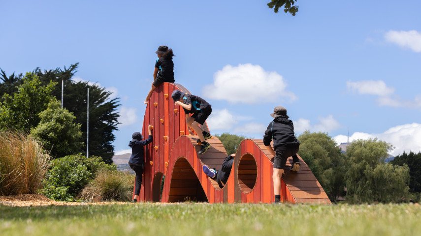
Local students bring fresh ideas to Hoon Hay Park
Students at Te Kōmanawa Rowley School have stepped into the role of landscape architects – designing, prototyping and constructing a new play space in Hoon Hay Park.
12 Jan 2026Design approved for Shirley Community Facility
Plans for a new Community Facility at Shirley Reserve have been approved by the local Community Board.
17 Dec 2025