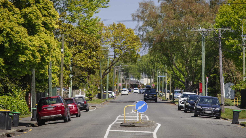
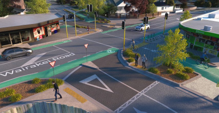
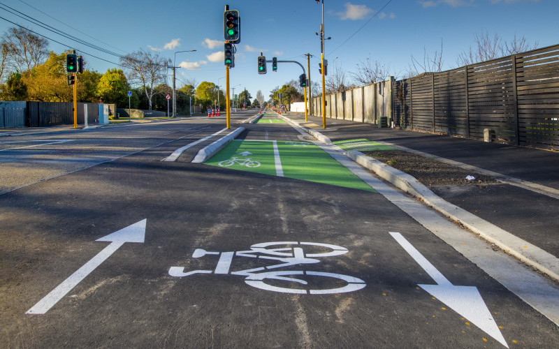
We’re building the next stage of the Nor'West Arc cycleway to make it safer and easier for people to cycle in Bryndwr. We're also upgrading wastewater pipes in the area at the same time.

Sign up for updates about the Nor'West Arc cycleway

In January 2025, work began on constructing the northernmost section of Te Ara O-Rakipaoa Nor'West Arc cycleway. We're also completing wastewater pipe renewals in the area, installing a new stormwater network, making water supply upgrades, and completing a street renewal on Aorangi Road.
These projects have been programmed together to ensure a coordinated approach to work in the area. The work is being completed in three stages, with the full project scope expected to be complete by mid-2026.
Speed consultation decision
Christchurch City Councillors decided against proposed lower speed limits for streets associated with the Nor’West Arc cycleway at their meeting on 10 December.
People could provide their feedback between 19 September – 31 October at letstalk.ccc.govt.nz/nor-west-arc-cycleway-speed-limit-changes(external link)
The speed limit on Aorangi Road, Condell Avenue and Matsons Avenue will remain at 50km/h.
View the traffic impacts drop-down tab below for information on the current phase of work and associated impacts.
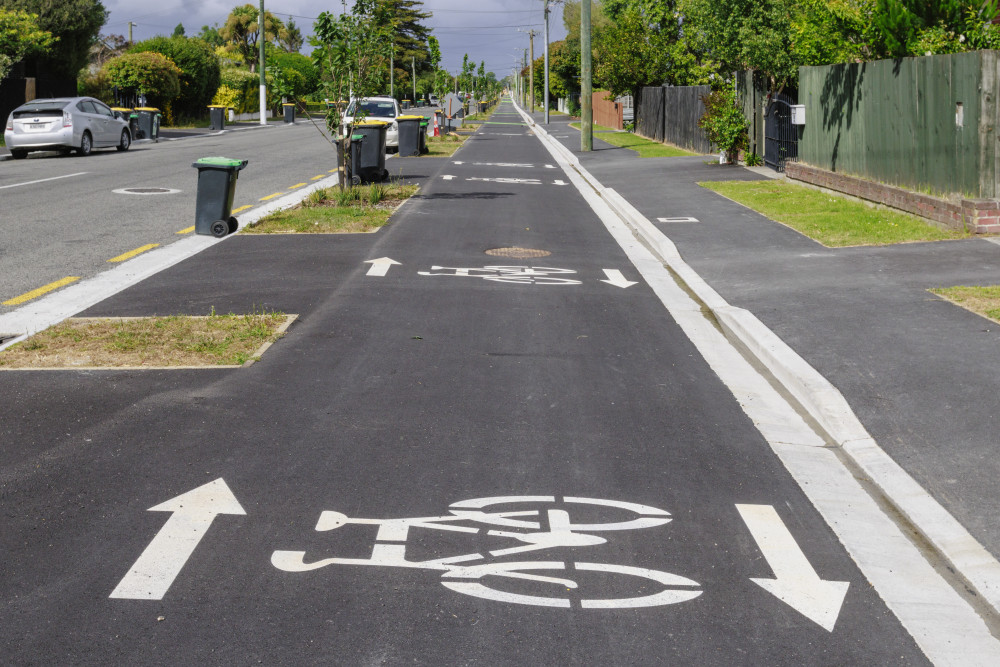
Work to construct the next section of the Nor’West Arc cycleway has been timed with significant Three Waters upgrades, to ensure a coordinated approach to work in the area. The construction programme is scheduled to begin on 13 January and is expected to wrap up around mid-2026. The work will be delivered in three stages. Example of a two-way cycleway Throughout the project, temporary traffic management is in place to keep road users and contractors safe. Please take care to follow signage and reduce speeds when travelling through the work site. The cycleway on Aorangi Road (north and south) is now paved and complete and all major construction work in the southern and northern sections of Aorangi Road (between Brookside Terrace and Condell Ave) has finished. Our contractor, Isaac Construction, will return in mid-January to undertake some small tidy-up jobs. This will include improvements to the road surface at the intersection of Aorangi/Colwyn and installing speed humps near the Wairakei Road intersection. Traffic Impacts: The second phase of the project will be from Condell Avenue and Matsons Avenue to Harewood Road. This is expected to get underway in March 2026. The newly completed cycleway, footpath and berms along Aorangi Road. The project is being completed in three stages: Stages may overlap, whereby some work continues in an area while work at the next area starts. The entire project is expected to be completed by approximately mid-2026. Each stage will also have different phases of work, marked by distinct changes in things such as the work area and the traffic management in place. We will send out Start Work notices for each phase of work, which will provide the specific details of the work and its impacts. We'll keep up-to-date information on the impacts of the current phase in the tab below. Monday to Friday 7am to 6pm. Some weekend work may be necessary at points throughout the project. Isaac Construction communications advisor – Hayley: 027 323 0056 or mcrnorwestarc@isaac.co.nz. The major construction impacts are expected to be finished by late October 2025, with completion by late December 2025. There may be temporary disruptions during construction. Please get in touch with the Isaac Construction team on 027 323 0056 to inform them of any access requirements ahead of time. If a section of the road is closed, alternative access or assistance will be provided. If you need assistance when exiting or entering your property, please signal to a member of the crew or contact them on the above phone number. If the construction team need to interrupt your driveway access, they will advise of this prior to through text or door-knocking. Please use the following link to receive updates about the work via text: https://wkf.ms/41m4J5l(external link) We do not anticipate any major interruptions to services. If any are planned, we will notify affected residents in advance. Aorangi Road (north) will be two-way from Condell Avenue to Wairakei Road by mid-September. Christian Street is open to two-way traffic, with entry from and exit onto Aorangi Road available. Wallace Street is currently one-way, travelling from Aorangi Road to Hudson Street. Once Aorangi Road fully reopens for two-way traffic in mid-September, Wallace Street will also return to two-way access. There are cars driving the wrong way down the one-way system – what is being done towards this? Our team is in contact with the local police to report any vehicles not following the road rules. If you see anyone putting others at risk, please note down their registration number and notify our team on 027 323 0056. Part of our underground work involves the safe management of extracted groundwater. This is the water seen on the roads which will be carried away via the stormwater system. There are areas where on-street parking will be removed, but there will still be plenty of parking spaces retained. The plan has not changed since it was approved in February 2022. The table below provides some information about the change in on-street parking. The measurements were done in lengths (m), with approximately 6 metres allocated to one car park. The percentage of parking retained is approximately 52%. On Wairakei Road, no car parks have been removed. Yes, two traffic monitoring cameras have been installed at the Wairakei/Aorangi intersection to help the Council observe traffic flow and respond quickly to any incidents that may occur. Te Ara O-Rakipaoa Nor'West Arc cycleway connects cyclists from Cashmere to Bryndwr, via Spreydon, Middleton, Riccarton and Ilam. The route begins at Princess Margaret Hospital in Cashmere and is currently open as far as Jellie Park Recreation and Sport Centre on Ilam Road. The cycleway provides a safer route for cyclists to get to school, university, work, pools and gym, parks, and local shops. Making it safer for people to bike helps reduce congestion, lowers emissions and makes it easier for cyclists to get around. North of the intersection of Aorangi and Ilam roads, we're extending the cycleway along the full length of Aorangi Road, then onto Condell Avenue and up Matsons Avenue to Harewood Road. Find more information in the sections above about how this work will be staged. When this section has been constructed, the route will be complete, except for a short section at approximately the midpoint of the route, along Annex Road. We will come back to the Annex Road section, between Birmingham Road and Blenheim Road, at a later date. We'll need to work alongside KiwiRail to improve safety and access at the level crossing that intersects the route. At their meeting on Thursday 3 February 2022, the Urban Development and Transport Committee approved the revised scheme design of the Major Cycleway Route Nor’West Arc Section 3. See the meeting agenda(external link) and minutes(external link) for more information. Subscribers of our general project updates(external link) will be notified by email when the project moves into a new stage/phase and there are changes to traffic management and the work area layout. We may also let you know about key milestones we've achieved. If you would like to receive more information about the project's progress from our contractor, Isaac Construction, you can sign up(external link) for their email updates, which will be sent more regularly. Additionally, residents or businesses located within, or close to, the work area can sign up for the contractor's site-specific text alerts and email updates on the work(external link).
Key works for all three stages of the project


Phasing of work
Hours of work
Who to contact for questions about the work
Timeframe for the Stage 1 work (Brookside Terrace to Condell Avenue)
Vehicle access to properties
Interruptions to electricity, water, or internet
Aorangi Road (north) reopening to two-way traffic
Access to Wallace and Christian streets
Water on street
Turning movements available at the Wairakei/Aorangi intersection once complete
On-street parking available for vehicles once complete
Section
Existing carpark count
Approx. existing length (m)
New length (m)
Approx. new carpark count
Between Ilam Road and Clyde Road
62
370
190
32
Between Clyde Road and Brookside Terrace
65
390
120
20
Between Brookside Terrace and Wairakei Road
60
360
140
23
Between Wairakei Road and Condell Avenue
122
730
410
68
Condell Avenue
28
170
30
5
Matsons Avenue
110
660
520
86
Totals
447
2680
1410
234
Intersection cameras

