How the Christchurch City Council responds to wet weather and flooding events.
We're always monitoring weather, rainfall and tide forecasts so we can be well prepared for any rain event that might cause flooding.
When wet weather is forecast to cause flooding, we take action before and during flooding to reduce the impacts on our city.
What we do to keep our community safe
During significant wet weather and flooding events staff from our Transport, Three Waters, and Civil Defence and Emergency Management teams are available round the clock to respond to issues. They're also out and about keeping an eye on our roads and infrastructure.
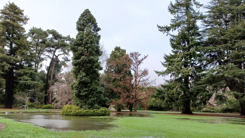
We have stormwater retention basins within the upper Heathcote River catchment. In periods of regular rainfall, the gates to the basins remain open and water flows through the basins and into the river as normal. When significant rain is forecast we close the gates between the basins and river as rain begins. Stormwater collects in the basins limiting the amount of water flowing into the Heathcote River and reducing flooding. Once the rain subsides we slowly release the water that has amassed in the storage basins. We do this to make room in the basins in case we get more rain. We’re building a series of new working wetlands across Christchurch to capture and naturally treat stormwater. The Sparks Road and Curletts Road wetlands are already complete and play a significant role in our stormwater network. Wetlands help reduce the risk of flooding, improve water quality and include beautiful new recreational spaces for our communities to enjoy and interact with nature. They are stormwater treatment facilities that capture and naturally filter stormwater from the local neighbourhood before it flows into our rivers and streams. Wetlands help reduce the risk of flooding during heavy rainfall by capturing excess rainwater. This water is slowly released, reducing downstream flooding. We work in partnership with Wairewa Rūnanga to coordinate the opening of Wairewa/Lake Forsyth to the ocean to help maintain appropriate lake levels. The goal is to keep the opening viable long enough to allow sufficient water to drain from the lake before it closes naturally by the sea. Conditions are set out in joint resource consents issued by Environment Canterbury, stating the levels at which the lake can be opened. These are as follows: Flood risk Inundation risk Staff consider multiple factors when planning a lake opening, including lake level, sea conditions and weather forecasts. Weather forecasts can change quickly, making them crucial in determining the best timing for an effective lake opening. Certain weather conditions can stop us from opening the lake, closing the opening or can reduce effectiveness of the opening. Examples include:
Resource consent conditions
Considerations when planning an opening