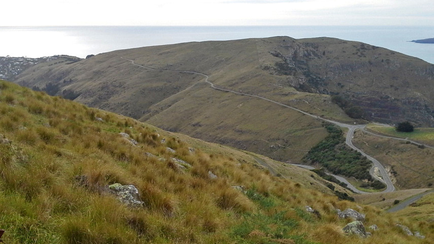
This section of the Head to Head utilises part of the Crater Rim to connect Godley Head to Urumau Reserve

| Start | Godley Head car park, Crater Rim Walkway |
|---|---|
| Finish | Urumau Reserve track junction |
| Time | 2 hours 30 min one way |
| Toilets | Located in the Godley Head car park |
| Dogs | On a leash |
| Description |
Godley Head is a fantastic starting point for the Head to Head Walkway. On a clear day, this exposed headland offers views across the harbour to Banks Peninsula. The WWII coastal defence battery site was built in 1939 and is ranked in the top ten New Zealand coastal defence heritage sites. The Tunnel Track, some buildings and the gun emplacements are closed due to damage from the earthquakes in 2010 and 2011. Allow 20 minutes here to explore the buildings that remain open. Check the Department of Conservation website(external link) for status updates. From Godley Head car park, pick up the Crater Rim Track on the Lyttelton side of the headland. The track climbs then sidles around under some steep bluffs above Breeze Bay before climbing again to wind its way above the cliffs to Livingston Col. Walk along the ridge with great views either side before dropping down beside a stock fence for about 1 km to meet the Summit Road at a cattle stop just above Evans Pass. Continue along the track and pass through Buckleys Bay Scenic Reserve before reaching the junction with Urumau Reserve Track (currently not signposted). If you hit Chalmers Track you have missed this junction. If you would prefer to follow the Crater Rim to Bridle Path then continue along the main track before walking down the Summit Road, crossing Evans Pass to pick up the track again off Summit Road about 50 metres downhill. |
