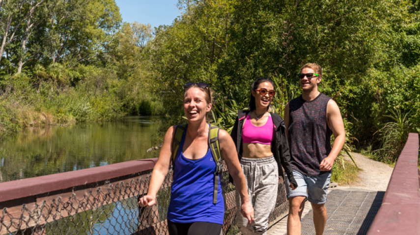
The Waimairi Walkway is a 2.5km walk in the riverside and rural landscape around the Groynes and Belfast.
| Start | Groynes car park, off Johns Road (SH1) |
|---|---|
| Finish | Darroch street reserve |
| Distance | 2.5 km |
| Time | 30 minutes one way |
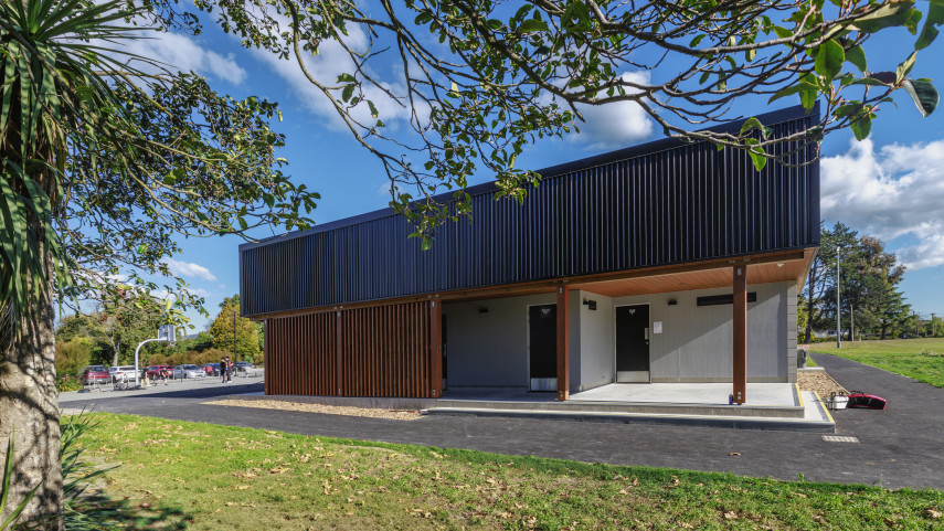
| Toilets | There are three toilet blocks located across the main Groynes car park and picnic areas |
| Dogs | On leash. |
| Description |
The Waimairi Walkway is a flat walk in a riverside and rural landscape. The walk begins at the entrance to the Groynes on Groynes drive and travels along the outside of the park beneath the new motorway before diverging off into the countryside. Passing through Darroch Street Reserve, the walk meets the Otukaikino Track and a circuit back through to the Groynes can be made for a 5km walk. |
Walking tracks
Shared use
Connecting tracks
Closed

Parking

Bus stop

Toilets
Water fountains
Accessible tracks

Challenging feature

Entry and exit point

Point of interest
Related news
New home for Linwood Keas
It’s going to be a good rugby league season for the Linwood Keas – on and off the field.
23 Apr 2026
Central city on full display after long rebuild
After the 15th anniversary of the 22 February earthquakes, we’re taking a look at different Council aspects of the rebuild, and how far we’ve come. Next up, the central city.
27 Feb 2026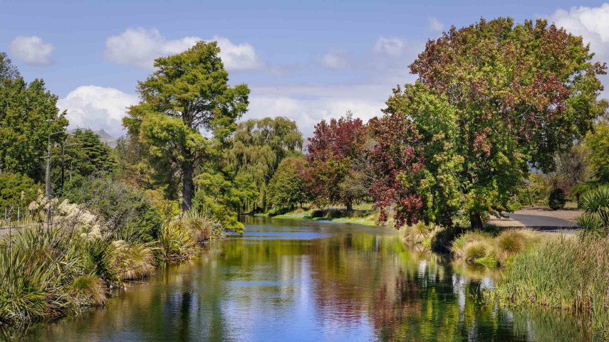
Ōtākaro Avon River Corridor shines, grows since quake
In the wake of the 15th anniversary of the 22 February earthquakes, we’re taking a look at different Council aspects of the rebuild, and how far we’ve come. Next up, the residential red zone's Ōtākaro Avon River Corridor (OARC).
26 Feb 2026