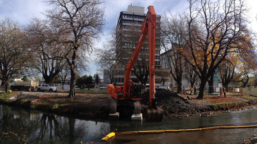
Waterways throughout Christchurch are naturalised and enhanced by many people, including the Council, community groups and landowners.

Their efforts help to:
- Protect natural areas.
- Restore native freshwater and riparian habitat.
- Enhance habitat for birds, fish, lizards and insects.
- Create green linkages/corridors.
- Restore people's enjoyment and sense of history.
The Christchurch City and Lowland Canterbury Streamside Planting Guide [PDF, 887 KB] provides information on what plant species are preferred by Council within riparian margins.
These plant species are specific to the local climate (e.g. windy or frosty) and the specific zones of the riparian margin (e.g. lower bank and upper bank).
The guide will help you know what to plant where, and how to plant and maintain your vegetation. You will be contributing to a more natural and sustainable Christchurch.
How to use the guide
- Look at the stream profile and decide which zone you want to plant (e.g. lower bank)
- Chose species from the list of suitable plants for the zone you have chosen; the profile diagrams show the plant forms and preferred positioning for planting
- Check the comments about the plant so that you get the shade, moisture and shelter conditions just right for the plants you have selected
- Follow the ten steps to planting and maintaining your riparian vegetation.
There are a number of nurseries in Canterbury that stock locally sourced plants, including the Department of Conservation's Motukarara Conservation Nursery, Southern Woods Nursery Limited, Wai-ora Forest Landscape Nursery and Trees for Canterbury.
The Council's Wetlands waterways and drainage guide describes a multi-disciplinary approach to the protection, restoration, management and design of waterways and wetlands.
In particular, Part B of this guide includes (a) information on habitat preferences of birds, fish and invertebrates found in the Christchurch area, and (b) detailed information on design and management of waterways and wetlands.
For example, Chapter 9 provides specific guidance of how to restore waterway form, including channel profiles and cross-sections (e.g. flow regimes, bank profiles and floodplain areas), stream bank materials, streambed substrate, bank vegetation and aquatic vegetation.
The fish salvage guidelines provide guidance for people working in Christchurch waterways. This document covers what types of activities may require fish salvage, and who needs to be involved in the process.
It is appropriate for all works being undertaken in waterways and is not specific to restoration projects.
Fish salvage guidance for works in waterways [PDF, 604 KB].
Working in waterways poster [PDF, 1.8 MB]
Fish screen standard [PDF, 377 KB]
The Christchurch City Council holds a number of resource consents from Environment Canterbury to allow the Council to undertake works within waterways. A requirement of these consents is to map trout and inanga spawning sites, and update these maps every five years.
The data from these maps is based on scientific data collected by a range of parties, including Christchurch City Council, consultants, Universities and Fish & Game. If works will be in the location of a spawning site during the following spawning seasons, additional mitigation or compliance is required:
- Trout – 1 May to 31 October
- Inanga – 1 January to 1 June
Trout and Inanga spawning maps(external link)
