A steep zig-zagging track between the Summit Road and the lower slopes of Ohinetahi Reserve. Enjoy the views!

| Start | Summit Road layby opposite Kennedys Bush car park |
|---|---|
| Finish | Junction with O'Farrells Track |
| Distance | 1km |
| Time | 45 minutes one way |
| Toilets | Located at Sign of the Bellbird |
| Dogs | Dogs must be on a short leash |
| Description |
Park at the Summit Road layby opposite Kennedys Bush car park (the third layby on left from Sign of the Kiwi, approx. 1.5km). Take the Crater Rim Walkway heading east for five minutes where you'll reach the marked junction with Bush Road Track. With great views of the forested gullies, impressive volcanic bluffs and harbour, the track zig-zags tightly down the ridge to reach the bushy part of O’Farrells Track. The tracks in Ohinetahi are managed by the Summit Road Society(external link). You can find maps and more information about the area on their website. |
Walking tracks
Shared use
Connecting tracks
Closed

Parking

Bus stop

Toilets
Water fountains
Accessible tracks

Challenging feature

Entry and exit point

Point of interest
Related news
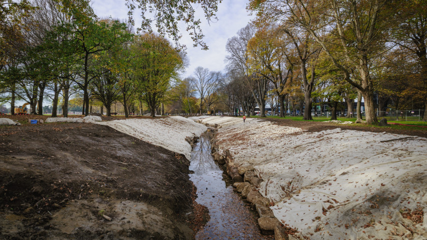
Addington Brook renewal progressing well
Stage two of the Addington Brook renewal programme in South Hagley Park is well underway, with half of the earthworks and all of the tree removals now completed.
9 Jun 2025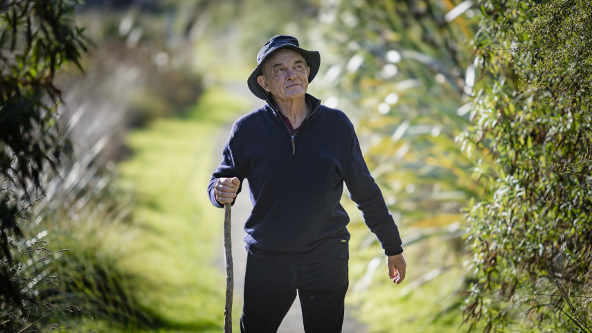
Restoring Papanui Bush back to its roots
The once mighty Papanui Bush stood proudly as a 30-hectare remnant of the Canterbury Plains.
4 Jun 2025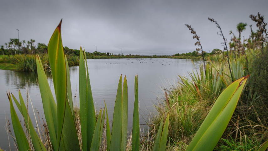
Ecological and recreational development planned for OARC
A popular park in the Ōtākaro Avon River Corridor (OARC) will be upgraded and expanded as restoration work continues in the former red zone.
6 May 2025