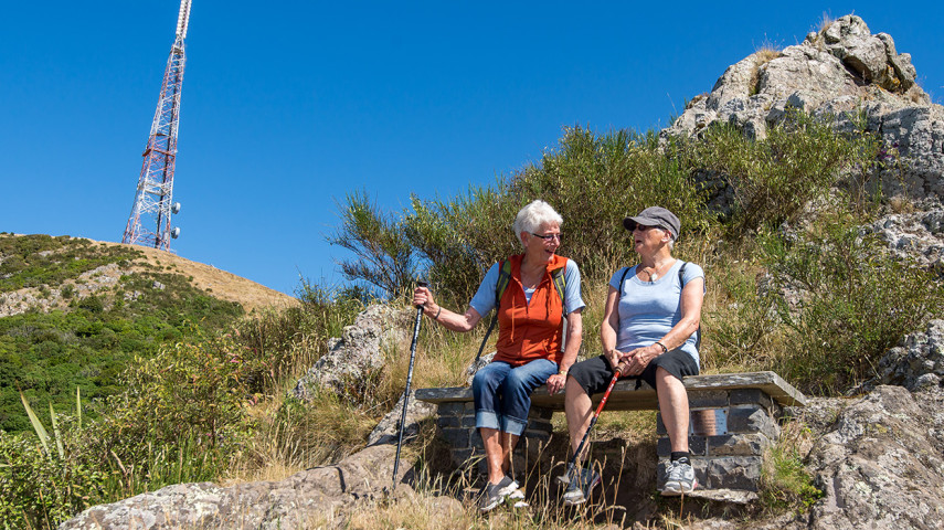
This popular walk forms part of the Sugarloaf Circuit, allowing walkers to experience the Lyttelton Harbour side of the Port Hills.
| Start | Bowenvale car park, Summit Road |
|---|---|
| Finish | Opposite Sign of the Kiwi |
| Distance | 1.2 km |
| Time | 35 minutes one way |
| Toilets | Located at Sign of the Kiwi |
| Dogs | Must be kept on a leash |
| Description |
From the car park, follow the track through native bush and sidle around steep rocky bluffs until reaching a spur. Head down into a section of pretty native bush before finishing opposite Sign of the Kiwi. Make the return trip via Gilpins or Cedrics Track for a change of scenery. Get ready for this track using Plan My Walk(external link) by the NZ Mountain Safety Council. You can find track alerts, weather forecasts, trip reviews and a packing list, so you are set for your adventure. |
Walking tracks
Shared use
Connecting tracks
Closed

Parking

Bus stop

Toilets
Water fountains
Accessible tracks

Challenging feature

Entry and exit point

Point of interest
Related news
New home for Linwood Keas
It’s going to be a good rugby league season for the Linwood Keas – on and off the field.
23 Apr 2026
Central city on full display after long rebuild
After the 15th anniversary of the 22 February earthquakes, we’re taking a look at different Council aspects of the rebuild, and how far we’ve come. Next up, the central city.
27 Feb 2026
Ōtākaro Avon River Corridor shines, grows since quake
In the wake of the 15th anniversary of the 22 February earthquakes, we’re taking a look at different Council aspects of the rebuild, and how far we’ve come. Next up, the residential red zone's Ōtākaro Avon River Corridor (OARC).
26 Feb 2026