A steep zig-zagging track between the Summit Road and the lower slopes of Ohinetahi Reserve. Enjoy the views!
| Start | Summit Road layby opposite Kennedys Bush car park |
|---|---|
| Finish | Junction with O'Farrells Track |
| Distance | 1km |
| Time | 45 minutes one way |
| Toilets | Located at Sign of the Bellbird |
| Dogs | Dogs must be on a short leash |
| Description |
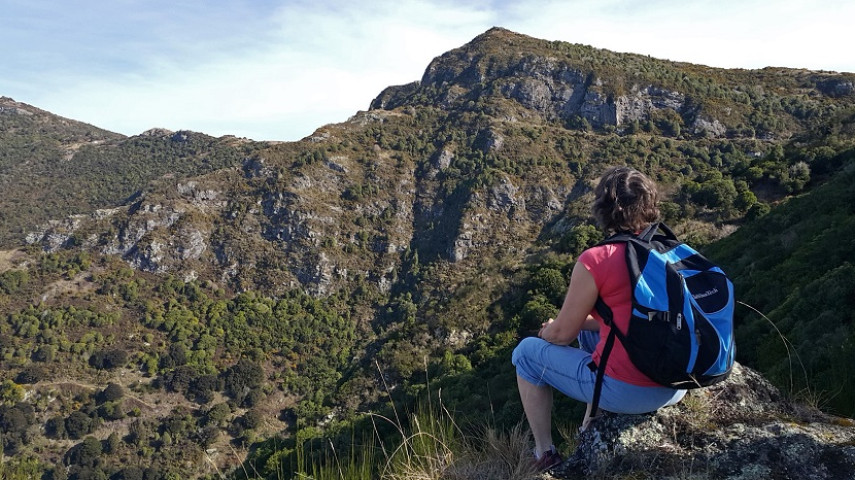
Park at the Summit Road layby opposite Kennedys Bush car park (the third layby on left from Sign of the Kiwi, approx. 1.5km). Take the Crater Rim Walkway heading east for five minutes where you'll reach the marked junction with Bush Road Track. With great views of the forested gullies, impressive volcanic bluffs and harbour, the track zig-zags tightly down the ridge to reach the bushy part of O’Farrells Track. The tracks in Ohinetahi are managed by the Summit Road Society(external link). You can find maps and more information about the area on their website. |
Walking tracks
Shared use
Connecting tracks
Closed

Parking

Bus stop

Toilets
Water fountains
Accessible tracks

Challenging feature

Entry and exit point

Point of interest
Related news
Central city on full display after long rebuild
After the 15th anniversary of the 22 February earthquakes, we’re taking a look at different Council aspects of the rebuild, and how far we’ve come. Next up, the central city.
27 Feb 2026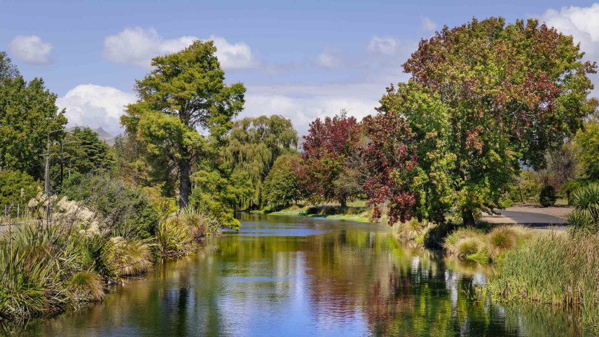
Ōtākaro Avon River Corridor shines, grows since quake
In the wake of the 15th anniversary of the 22 February earthquakes, we’re taking a look at different Council aspects of the rebuild, and how far we’ve come. Next up, the residential red zone's Ōtākaro Avon River Corridor (OARC).
26 Feb 2026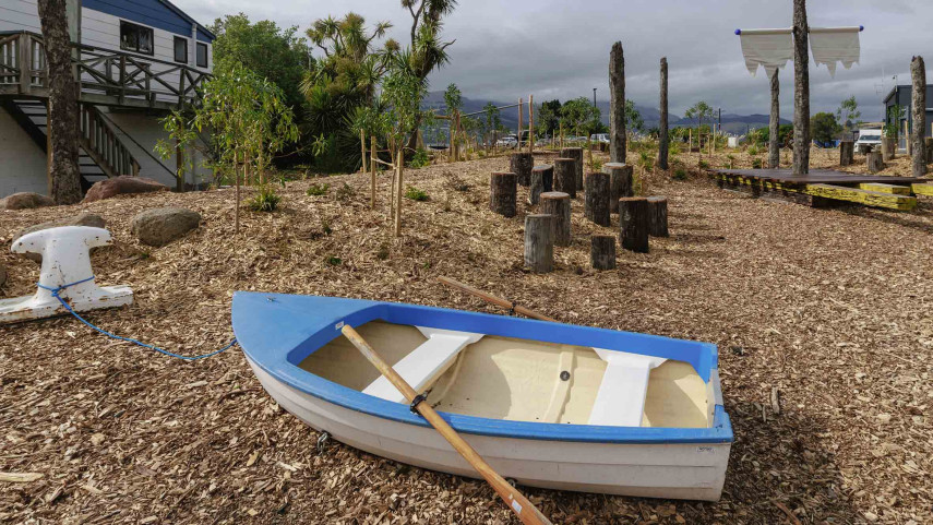
New play space at Lyttelton’s Naval Point now open
A ‘sinking ship’, monkey bars and dinghy are all features of a new play space at Naval Point.
14 Jan 2026