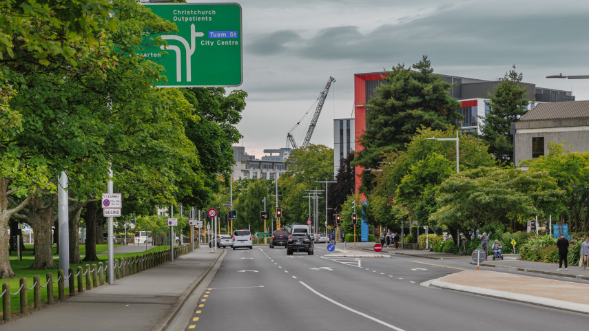
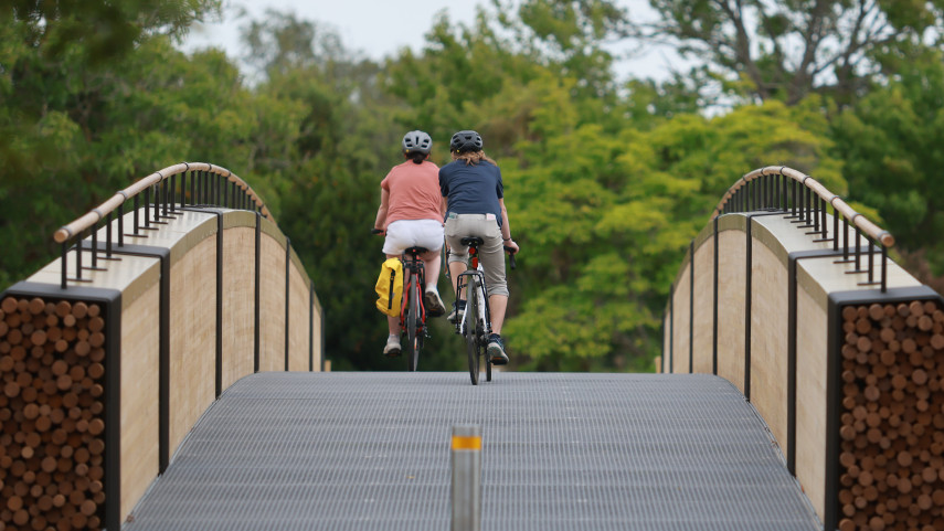
There are now more than 75km of cycleways, which make getting around by bike way safer and easier for everyone.

Discover new connections with the bike map
- Download the Ōtautahi Christchurch bike map [PDF, 3.1 MB]
- Pick up a printed copy at Council Libraries, Recreation and Sport Centres, local bike shops, Ara Institute, University of Canterbury or the Bus Interchange.
To see public bike parking spots on the map below, select cycle stands from the list of map layers.
Subscribe to our seasonal cycling newsletter and keep up to date

Our major cycleways network is designed to be a safe and convenient option to get people on bikes to where they want to go. Nine of the 13 planned cycleways are now open for you to ride. Find more information on the different cycleways here. (external link)
Open major cycleways:
Partially open major cycleways:
Planned major cycleways:
Open shared path connections:
Partially complete shared path connections:
Cycleway
Cycle lane
Shared path
Shared zone (10-20km/h street)
Te Ara Ōtākaro Avon River Trail
Cycle stand
Locky Dock
Undercover cycle stand

School bike track
Related news

Feedback sought on clearway trial
Christchurch City Council is asking for feedback on the clearway being trialled on Hagley Avenue.
30 Jan 2026
Buskers Festival taking over Christchurch streets
The World Buskers Festival is back this month, bringing wild, world-class street performances to Christchurch.
22 Jan 2026
Make a day of it along the City to Sea pathway
With plenty of picnic spots, nature play areas and time for real fruit ice cream along the way, the City to Sea pathway makes for the perfect day of exploration on foot or wheels.
19 Jan 2026